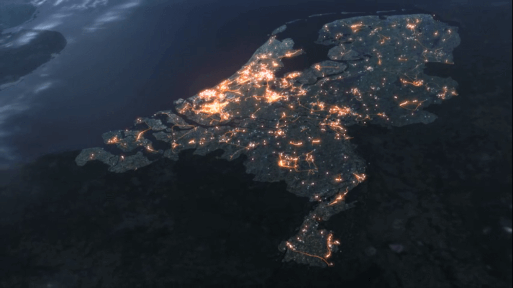
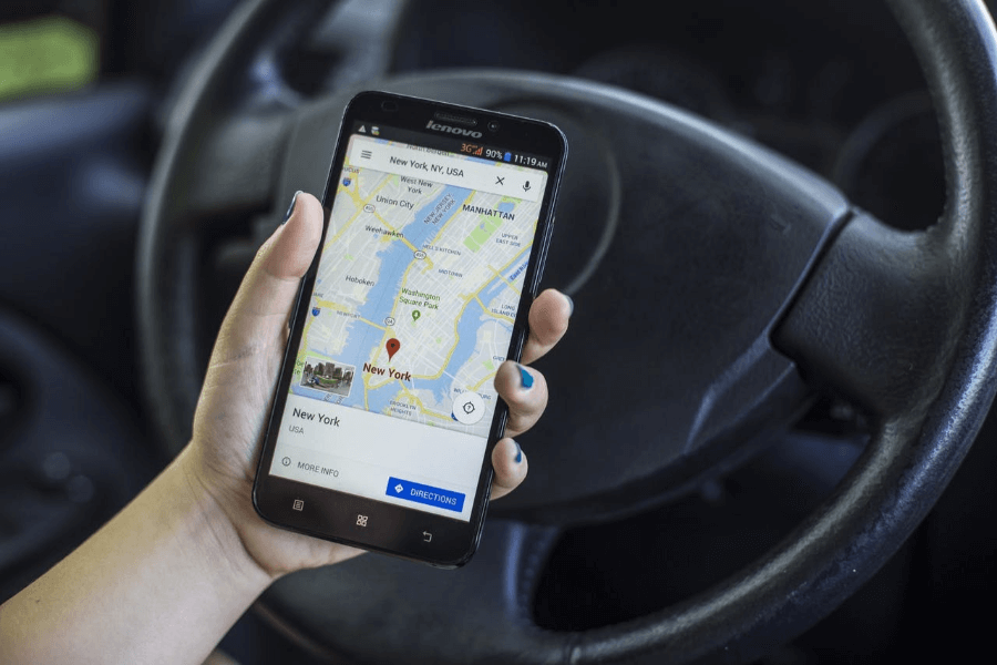
Navigation chaos & the Data top 15
Navigation apps such as TomTom, Waze and Google Maps cause traffic problems, as we read in the FD last weekend, following a message from the IEEE engineering club. The apps send motorists in search of a faster route, via shortcuts through neighborhoods that are not...
Insights into Logistics Data
Data for Logistics update: The overview of all municipal logistics data is now available here. The overview shows for each municipality which data types have been supplied, such as window times, environmental zones and maximum restrictions. At present, around 10% of...
Enough options for green roofs
The climate agreement is a hot topic, how are we going to achieve the objectives and where do we start? Swiss scientists write in the journal Science that the best way to combat climate change is to plant at least one trillion trees worldwide. In theory, this...
A wealth of data hidden in pictures
Image recognition is a fast-growing method within data science. With this technique the focus is on a special type of data type: namely photos. With image recognition you learn to recognize an image algorithm. You do this by offering many images with the correct...